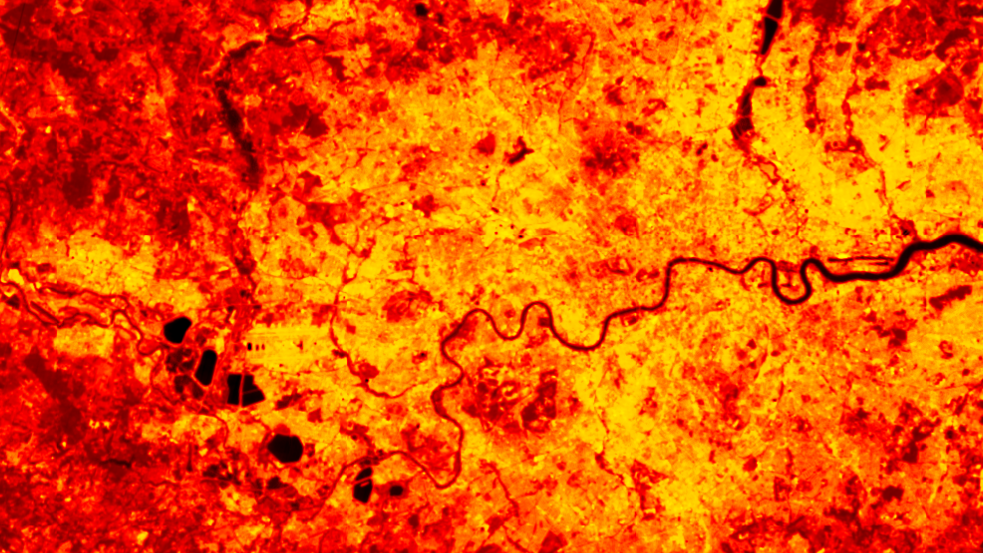
Land Surface Temperature
Long-term satellite observations of land surface temperature provide detailed information to help better understand the trends that indicate climate change.
Land surface temperature (LST) is a separate measure to ambient air temperature, but the two are fundamentally linked. LST can be described as a measure of how hot or cold the surface of the Earth would feel to the touch. For ground-based, airborne, and spaceborne remote sensing instruments it is measured as the mean radiative temperature of all objects comprising the surface. The heat rising off Earth’s landscapes influences, and is influenced by, our world’s weather and climate patterns. Satellite observations of LST provide critical data for understanding climate change, managing natural resources, and implementing strategies to mitigate its effects.

The NCEO LST Group based at the University of Leicester specialises in the retrieval, validation and exploitation of LST. NCEO researchers have led pioneering work in surface temperature, which has produced a continuous record of LST that spans over 25 years. The University of Leicester and NCEO are key partners of the ESA CCI Land Surface Temperature consortium, which in 2022 published ESA Land Surface Temperature Climate Change Initiative global dataset.
NCEO LST Group also produce simulations of land-surface models; the interactions between the land-surface and the atmosphere; and climate feedbacks on various spatial and temporal scales including the evaluation of land-surface models. LST is used in Earth system modelling work to provide data and information about:
- hydrological modelling
- land cover classification
- vegetation health assessments
- urban heat islands
- health and disease modelling
- climate resilience
- adaptation strategies
Partnerships
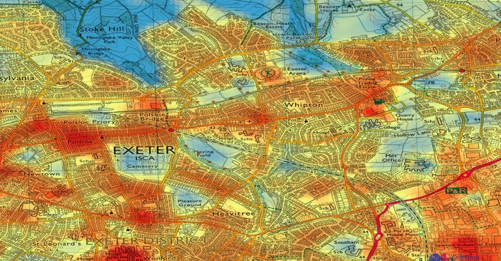
Monitoring trends in LST helps to inform planning and ‘climate-adaptive’ policies to deal with extreme events, such as heatwaves. LST data provide evidence to decision-makers at the national and local level to address issues of heat risk, vulnerability and urbanisation. NCEO is collaborating with Ordnance Survey (OS) using satellite data to monitor and map heat in locations at greatest risk. The HEAT Project combines detailed OS mapping of urban areas that are overlain with LST data.
Projects
The team leads all LST activities for Sentinel-3 and are the Prime on the ESA LST CCI Project. Other projects include: leading the science for the upcoming LSTM mission, leading the LST component on the Copernicus in situ service, leading the LST component on UK EOCIS, and leading on LST activities for other ESA and Horizon Europe studies.
Tools
The LST Group retrieve and process data from a range of infra-red sensors onboard European Copernicus Sentinel-3 satellites and Along Track Scanning Radiometers (ATSRs); and US missions, such as Landsat, MODIS and VIIRS.
Contact
For further information contact Dr Darren Ghent, or visit the LST Group Contact pages.

Search datasets and tools
NCEO produces various datasets related to climate change, including measurements of greenhouse gases, atmospheric composition, land surface changes and ocean health. These datasets are valuable for understanding the dynamics of climate change on a global scale and informing policies and actions to address it.


