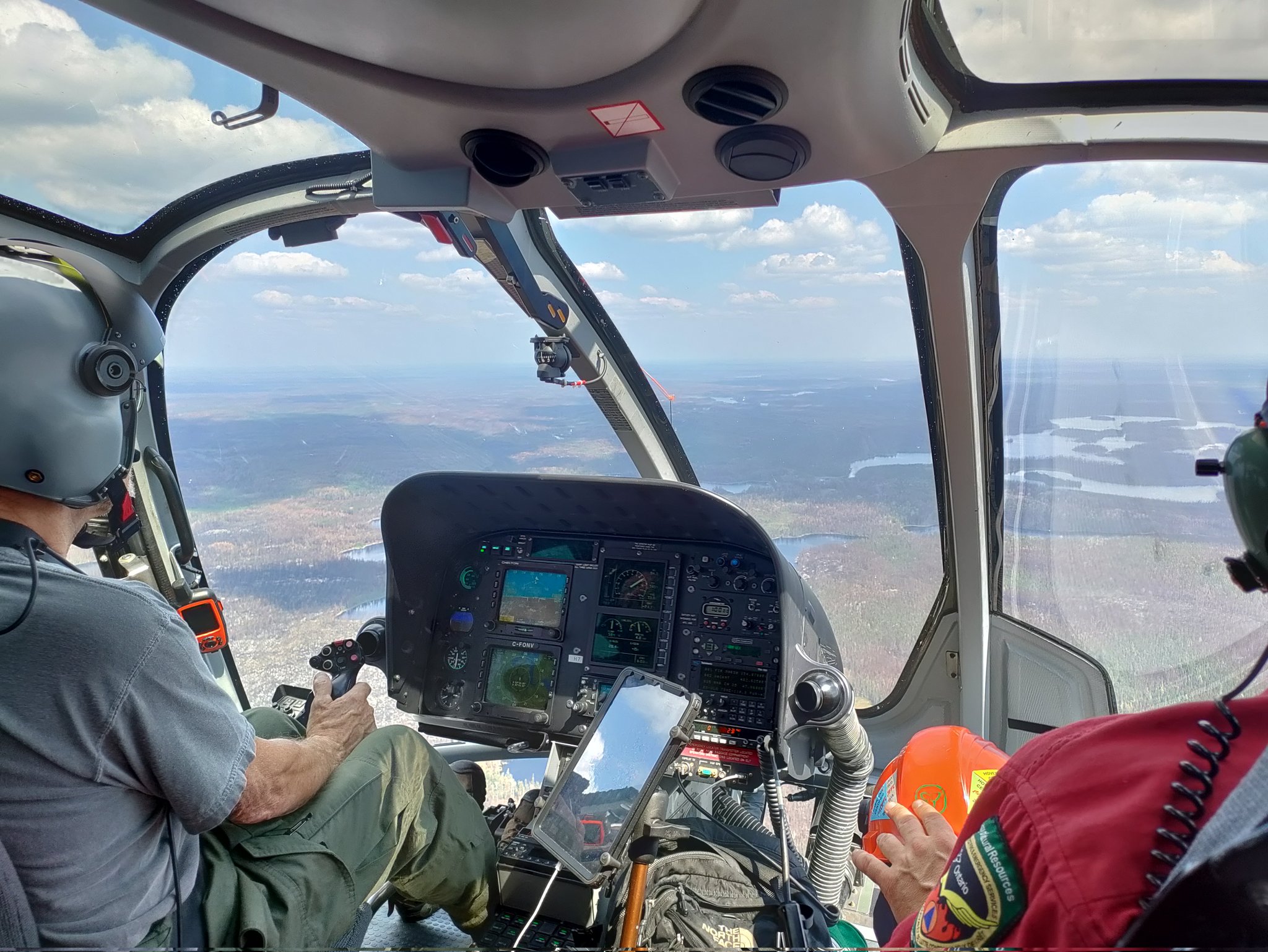
Airborne and Field Campaigns
Airborne campaigns typically involve flying aircraft equipped with remote sensing instruments over wildfire-affected areas to capture high-resolution imagery, spectroscopic data, and emissions.
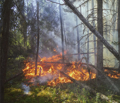
Ground-based field campaigns typically involve deploying instruments and sensors to wildfire-prone areas to collect data on fire behavior, emissions, atmospheric conditions and vegetation characteristics.
Together, field and airborne campaigns help to improve our understanding of wildfire processes and their interactions with the environment, which can inform better management and mitigation strategies.

We need better information to quantify fires and their smoke emissions across the full size range, so we can understand the true magnitude and impact of fire in both natural and human modified environments.
Professor Martin Wooster, NCEO Director based at King’s College London
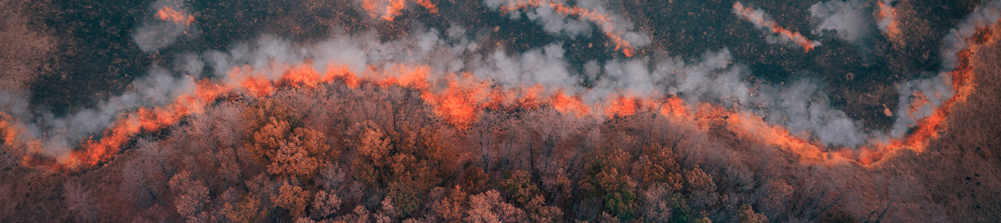
Canadian Wildfires Campaign
Large scale campaigns took place in Ontario, Canada in 2018 and 2023 to investigate emissions from wildfires observed from the air and ground. Read more….


Search datasets and tools
NCEO produces various datasets related to climate change, including measurements of greenhouse gases, atmospheric composition, land surface changes and ocean health. These datasets are valuable for understanding the dynamics of climate change on a global scale and informing policies and actions to address it.