
Instrument Development Laboratory
Instrument Development Laboratory
Land Surface Temperature (LST) is an essential climate variable (ECV) providing information on the Earth’s radiative balance, along with a wide range of applications including agriculture and urban planning.
Satellite LST datasets are subject to very strict accuracy and precision requirements (< 1 K) in order to be useful to the wider scientific community, so it is essential that these datasets are constantly validated using in situ observations with instruments such as Apogee SI-121-SS and Heitronics KT15.85 IIP radiometers.
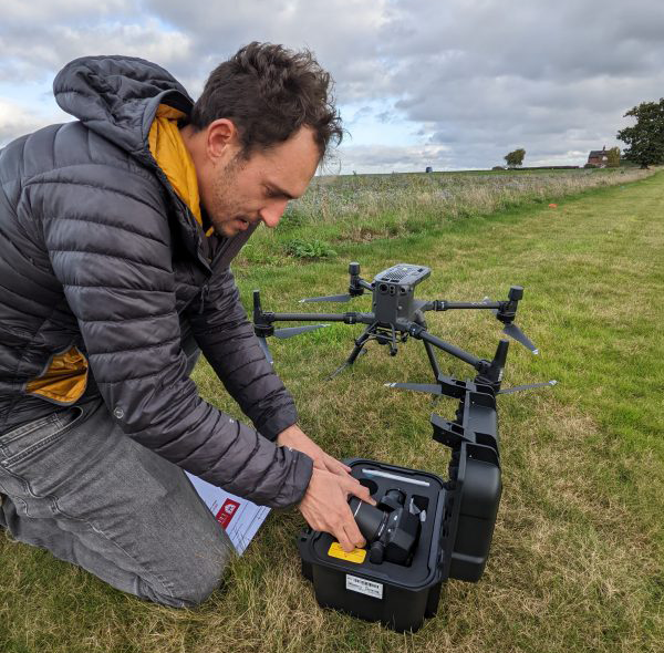
The main use of the Instrument Development Lab is to calibrate and test infrared radiometers used at in situ sites to validate satellite LST datasets. Additionally, the lab has facilities for soldering electronics (including Low Exhaust Ventilation) and preparing the radiometers for temporary or permanent deployments.
Laboratory capability
Brightness temperatures reported by infrared radiometers are typically calibrated against blackbody temperatures reported by a traceable calibration source, which can be tuned to specific temperatures over a stable time period. Temperatures simultaneously measured by the radiometer and the calibration source can be used to define or update a calibration function to convert the raw electronic readout to a traceable blackbody temperature.
Our facilities include:
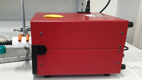
- AMETEK Landcal P80P: Blackbody calibration source with a temperature range of:
-10 – 80 °C. The blackbody temperature outputted by this instrument has in turn been calibrated to an NPL standard - Apogee SI-121-SS radiometers: small, low-power radiometers with a narrow field of view (18˚), which measure the brightness temperature over an 8 – 14 µm spectral range
- Heitronics 15.85 IIP radiometers: chopped radiometers capable of measuring brightness temperatures at a high accuracy (± 0.5 K) and a narrow spectral range (9.6 – 11.5 µm). The instruments also offer long-term stability, with almost no thermal drift over time.
- CIMEL CE 312 IR radiometer: Unlike the above models, this radiometer is capable of measuring brightness temperatures over multiple spectral bands, allowing for the measurement and characterisation of surface thermal emissivity (an important factor in satellite LST retrievals)
- Campbell Scientific CR310 data loggers: Used to program and store data from the calibrated radiometers
Our work
Laboratory calibration of infrared radiometers is performed at this lab in service of the following projects:
Ground-Based Observations for Validation (GBOV) of Copernicus Global Land Products
Geostationary satellite datasets provided by the Copernicus Global Land Service provide hourly LST covering the full diurnal cycle. Validation of these datasets poses a unique challenge, as the spatial resolution of these satellite datasets (~5 km) means that a typical ground pixel can cover multiple land cover types of varying thermal emissivity. As such, in situ radiometers for this purpose must be positioned in regions where homogeneous land cover is assured at these spatial scales.
Radiometers calibrated in the Instrument Development Laboratory will be deployed in Japan and Australia during 2024 as part of the GBOV project, which will expand validation capability over previously unobserved biomes.
Advanced Surface Temperature Radiometer Network (ASTeRN)
During 2024, several radiometers calibrated in the Instrument Development Laboratory will be deployed at locations including Argentina, Costa Rica, Finland, Germany, and Australia. These regions cover climate and land cover types which have been poorly represented in existing LST in situ monitoring networks, and will improve validation of existing and forthcoming satellite LST instruments.
Access
The Instrument Development Laboratory may be available to other research organisations, usually in collaboration with NCEO or University of Leicester.
Contact
For further information contact Jasdeep Singh Anand

Laboratory capabilities


Search datasets and tools
NCEO produces various datasets related to climate change, including measurements of greenhouse gases, atmospheric composition, land surface changes and ocean health.
Our datasets are valuable for understanding the dynamics of climate change on a global scale and informing policies and actions to address it.