What is EO?
Monitoring the Earth

Earth observation (EO) scientists collect and analyse information about the Earth’s atmosphere and its surface (oceans, freshwater and ice as well as land). The many different instruments they use to do this may be based on the ground, on vehicles or ships; be carried into the atmosphere on balloons, drones or aircraft; or circle the Earth on satellites.
Satellites are particularly useful because they can collect data from across the globe every month, week or even day.
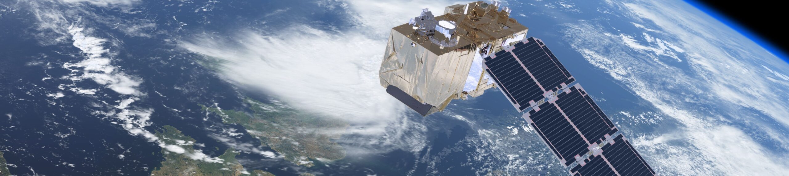
Satellites

Satellites
We have all seen satellite images from weather forecasts on the news, but these satellite instruments can do more than just monitor clouds and weather systems. They also gather information about factors such as land and sea temperature, wind speed and rainfall.
These data are used to build complex computer models of the Earth and its atmosphere. Meteorologists use these to create weather forecasts for the days and weeks ahead. Climate scientists use them to explore longer-term patterns and changes.
At NCEO we use satellite data to monitor climate change and to produce maps and models to help society to plan for the future.
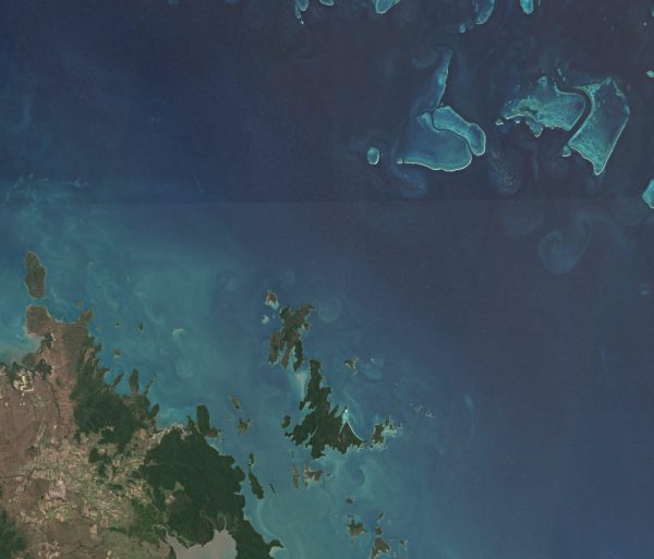
Ocean
The Ocean
The ocean plays an incredibly important role in controlling the Earth’s climate. Some satellites can map the temperature of the entire ocean at frequent intervals. This helps us to explore how heat moves around the planet. Other satellite instruments are very sensitive to changes in colour of the ocean caused by sediment or plankton.
NCEO researchers at Plymouth Marine Laboratory study data like this which not only contributes to climate models but also helps us to understand marine ecosystems.
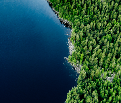
Forests
Forests
Satellites have been collecting images of the Earth for decades so it is now easy to examine how land use changes over time. For example, we can clearly see how cities are spreading and the effects of deforestation in countries around the world.
New instruments are going even further, ‘seeing’ through the leaves to measure the volume of wood making up trees deep in tropical forests. Knowing how much carbon they capture and store allows climate scientists to keep better tabs on how carbon flows around the planet, and gives governments the accurate data they need to monitor progress towards international targets to reduce greenhouse gases.
NCEO scientists at the University of Leicester have developed an early warning system to protect tropical rainforests from illegal logging in near real time. Forest Alert uses a mobile app to send messages to users when the latest satellite images show that forest cover has changed so those who manage the forests can investigate if needed.
Ice
Ice
Some satellites carry ‘active sensors’ – instruments that use a radar technique and can ‘see through’ cloud. These instruments are used to monitor ice in glaciers and at the poles. They detect not only the extent of the ice but also its thickness and how quickly it moves. Active sensors also allow scientists to map ground and sea level height to within a few millimetres.
In 2012, NCEO led a pioneering study to produce the most accurate estimate of ice loss from Greenland and Antarctica since 1992, by combining data from ten satellites. NCEO researchers demonstrated that melting ice caps were responsible for a fifth of the rise in global sea levels over the 20-year study period.
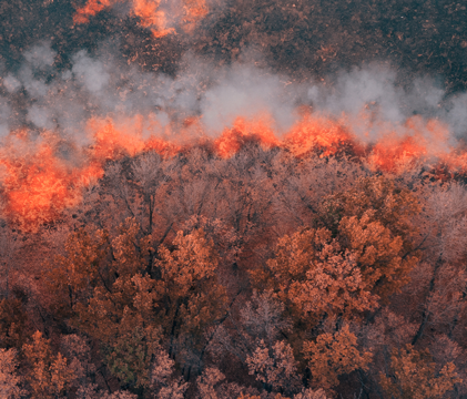
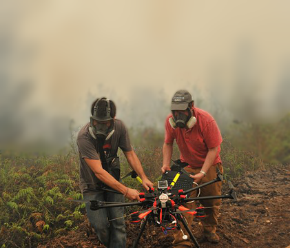
Natural hazards
Natural hazards
Wildfires are becoming more common across the world. They not only destroy property but have a significant effect on the health of people in places affected by the smoke from them. NCEO scientists at Kings College London study wildfires and assess their impact on air quality.
Satellites can collect data even from places it is impossible to reach on foot or in a vehicle. This makes them a critical tool for emergency services and rescue teams during volcanic eruptions, earthquakes, floods, forest fires and so on. when it is difficult to get to.
NCEO scientists at the University of Oxford found a new way of using satellite data after the Hunga Tonga–Hunga Haʻapai eruption in December 2022. They showed that the ash cloud reached up 35 miles – into a part of the atmosphere more usually associated with shooting stars.
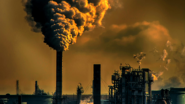
Human Activity
Human activity and its impact
EO data is used in many ways to support businesses and explore our impact upon the Earth. For example, it can be used to monitor air quality, effluent discharges into rivers and light pollution from cities.
The mining industry uses it to identify sites that might contain new reserves of important minerals. Farmers use EO data to monitor the health of their crops so they know exactly which areas of their land need to be irrigated and fertilised. This ‘precision agriculture’ reduces the amount of scarce, expensive or potentially polluting resources that are used and can contribute to increased food security.
In 2023, NCEO scientists using a specialist satellite to investigate how landfills affect the atmosphere discovered a faulty gas pipe near Cheltenham. Because they spotted the methane leak, the gas company were able to repair the damage protecting local people, the atmosphere … and their profits!
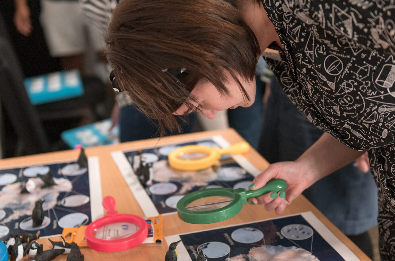
Education Resources
Earth observation data, images and contexts are a great way of delivering parts of the core curriculum in a new way.
You do not have to prepare lessons using them for yourself: there are a growing number of ready-to-use resources available that contain everything you need to give it a go.