Upper Primary
(age 7-11 years)
Upper Primary School Resources

The resources listed on this page were designed for primary school pupils. They cover concepts from topics in mathematics, geography, science and computing but many also include extension activities linked to other curriculum areas.
You may also find the lower-secondary materials useful for some topics.
Biomass Mission: Counting Trees
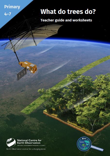
These classroom resources support students learning about the forested areas of the Earth: where they are, which are diminishing, and which are increasing. They provide opportunities to discuss the reasons for these changes. Students use photographs alongside their own experience to consider how difficult it can be to count trees and find out how the Biomass satellite will help. An optional activity or demonstration introduces how the instrument on the satellite works. The pack can be used alongside study of rainforest ecosystems.
Pack includes: Teacher guide (containing background information, lesson plan, printable resources etc.) and PowerPoint presentation
Download here: Counting Trees Teacher Guide, Counting Trees Presentation
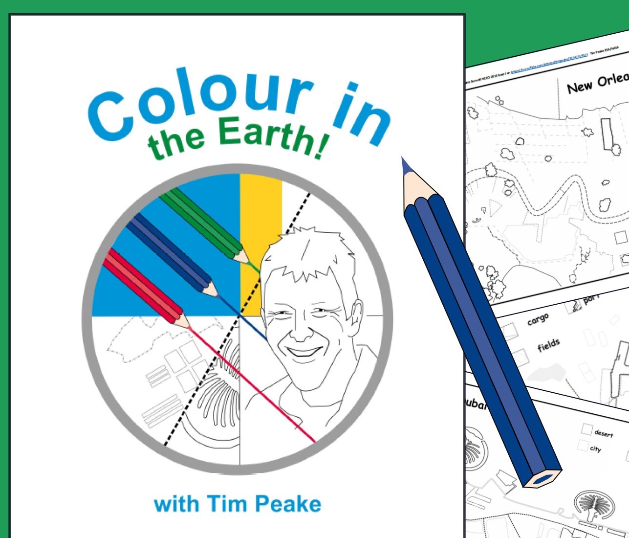
Colour in the Earth
Astronaut Tim Peake took many incredible pictures of places on Earth while on the International Space Station. This EO Detective resource uses some of these images, to support children in recognising human and natural features from above.
Line drawings based on the photographs form colouring sheets that can be used individually or as a set. Each drawing emphasises and lists several features so children can create a key, effectively beginning the process of changing the photograph into a map. The booklet also includes a series of four satellite images of the British Isles at different times of year to use in discussion of weather and seasons.
Pack includes: worksheets (as a booklet), PowerPoint presentation, high-resolution images to print for display, teacher guide
Download from: STEM Learning | Colour in the Earth
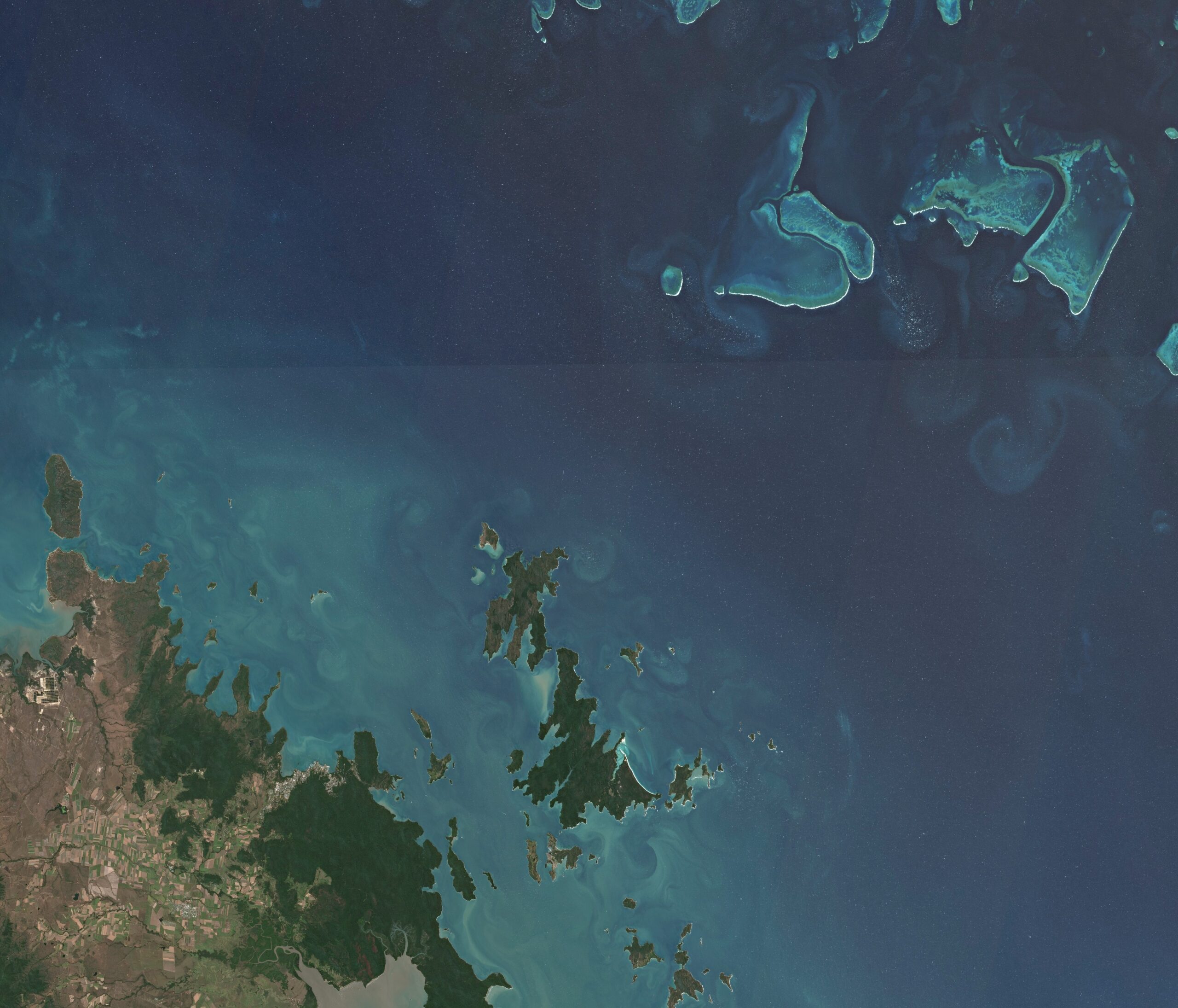
From the ground and from the sky
This activity introduces remote sensing by asking pupils to match and compare photographs of features such as lakes, mountains and cities taken from the ground with early astronaut photographs of the same place.
The activity is also suitable for younger primary children as it reinforces the use of geographical vocabulary to refer to physical and human features and extends the idea of recognising features in aerial photographs.
Pack includes: worksheet (2 versions), PowerPoint presentation, teacher guide
Download from: STEM Learning | From the ground and from the sky
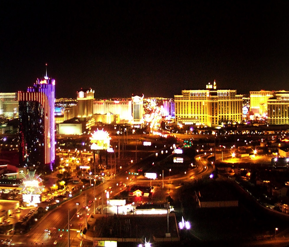
Viva Las Vegas
This activity shows how Earth observation can be used to study human geography by comparing satellite images of Las Vegas. Linking to measurement of irregular areas and addition and multiplication of fractions, it asks children to measure the area of the city at three separate times over the last few decades, predict its current extent and then check their prediction.
Pack includes: differentiated worksheets, image sets (without grid, with small grid and large grid), grids for overlays, PowerPoint presentation, teacher guide
Download from: STEM Learning | Viva Las Vegas
Watching a glacier
This activity uses satellite images of the Earth to show how a glacier has changed over almost three decades. Children are asked to measure the glacier to find out how much it has changed in size and to compare false-colour images to suggest how this helps us find out more about environmental change.
The images are part of a larger set used in a lower-secondary activity of the same name which considers ideas about fair testing
Pack includes: images for printing (without grid, with small grid and large grid), PowerPoint presentation, teacher guide
Download from: STEM Learning | Watching a glacier (7–11)
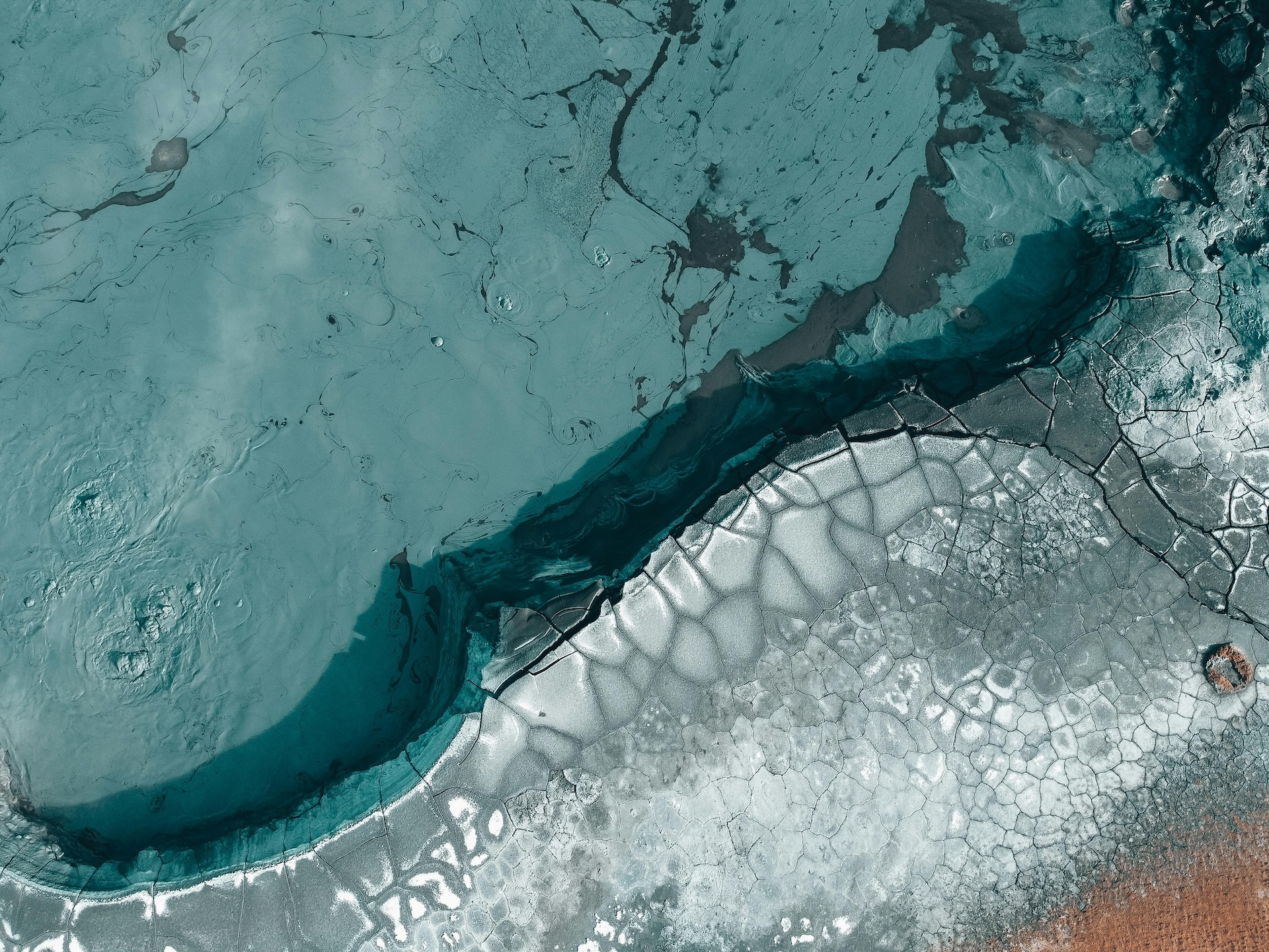
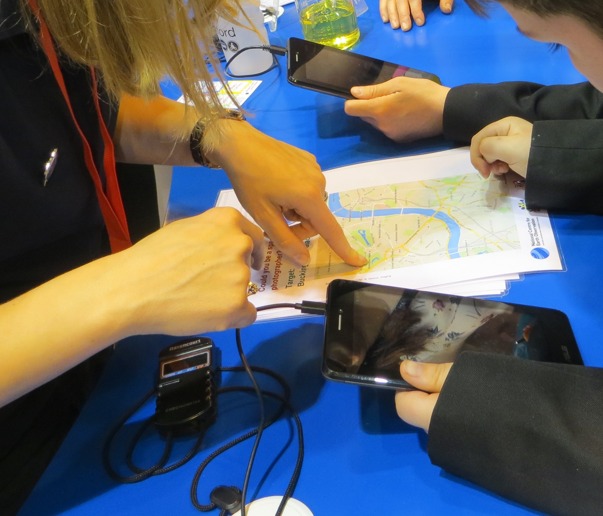
Where would you photograph?
In this activity children take on the role of Earth observation scientists submitting a request for an image they would like for their research. This gives them the opportunity to consider the possibilities of pictures taken from orbit (and the limitations) and to write scientifically for a specific audience. It can be used to consolidate learning from the other resources or for an in-class or whole-school competition.
Pack includes: worksheet, sample response, PowerPoint presentation, certificate, teacher guide
Download from: STEM Learning | Where would you photograph? (7–11)
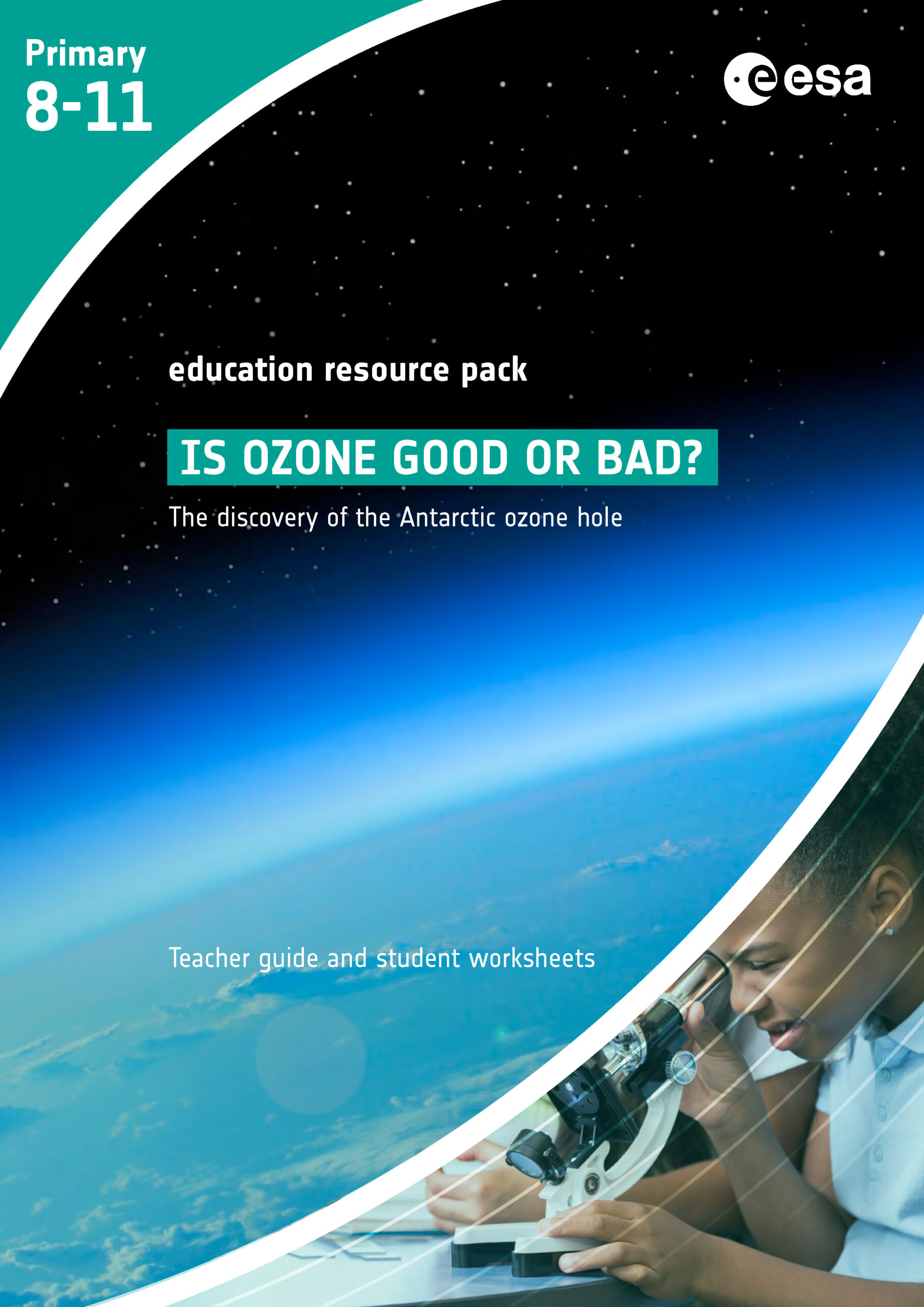
Is ozone good or bad?
This resource from the ESA Climate office is a set of activities linked by the story of the discovery of the Antarctic ozone hole and the international action that followed. Pupils learn about ozone and the impacts – good and bad – it has on life on Earth.
Activities are:
- a reading activity exploring the importance of ozone hole and finding out how it is measured
- a practical investigation into the effectiveness of sunscreen
- using real satellite data to explore how ozone concentration has varied across the world over the last couple of decades.
Pack includes: 3 worksheets, 2 information sheets, teacher guide
Download from: STEM Learning | The discovery of the Antarctic ozone hole
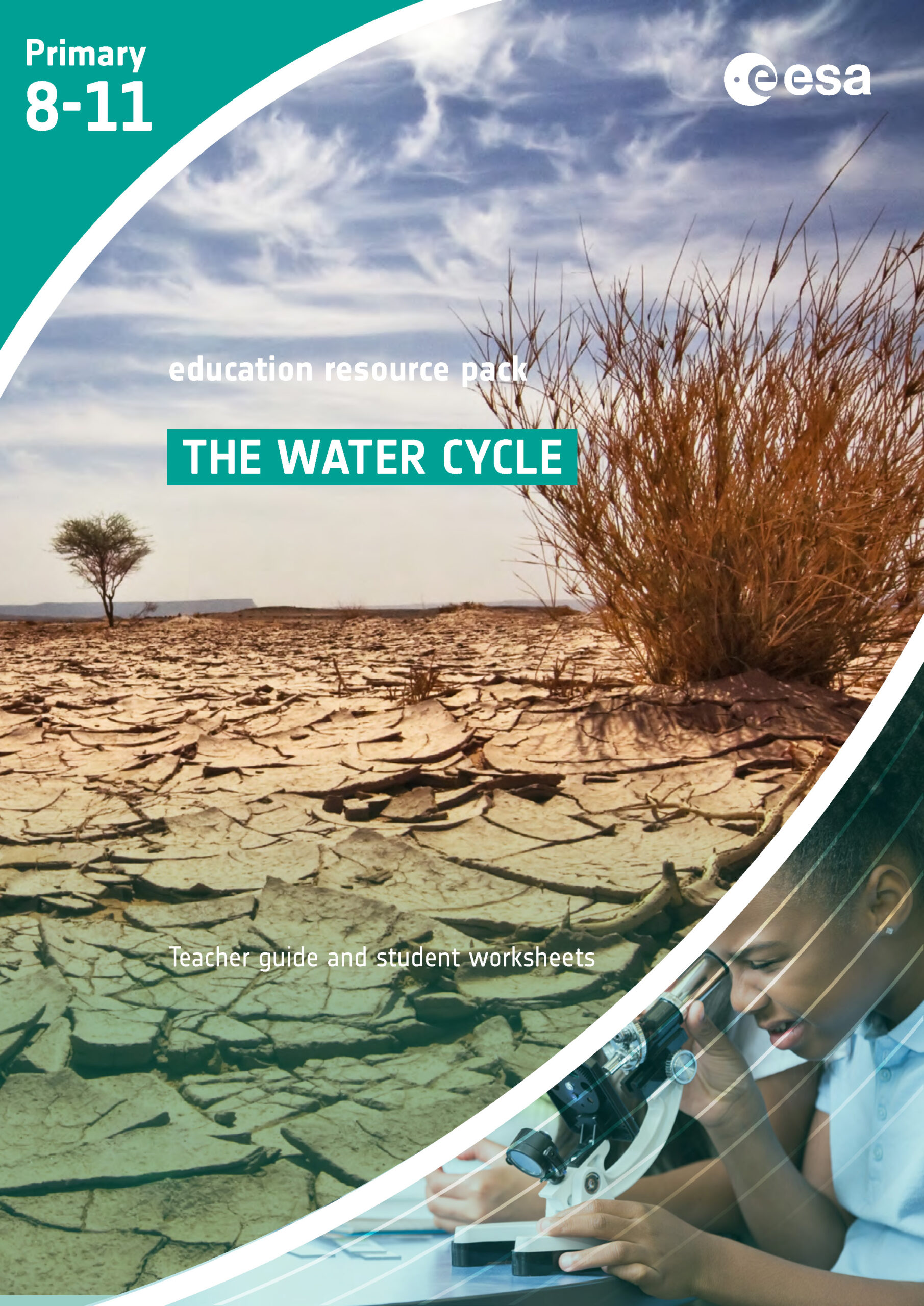
The water cycle
These activities from the ESA Climate office support pupils in learning about the water cycle using:
- the story of a snowflake to illustrate the water cycle
- a series of practical investigations into evaporation and condensation from free water and water in the soil
- explore changes in soil moisture across the world over recent years using real satellite data
Pack includes: 6 worksheets, information sheet, teacher guide
Download from: STEM Learning | The water cycle
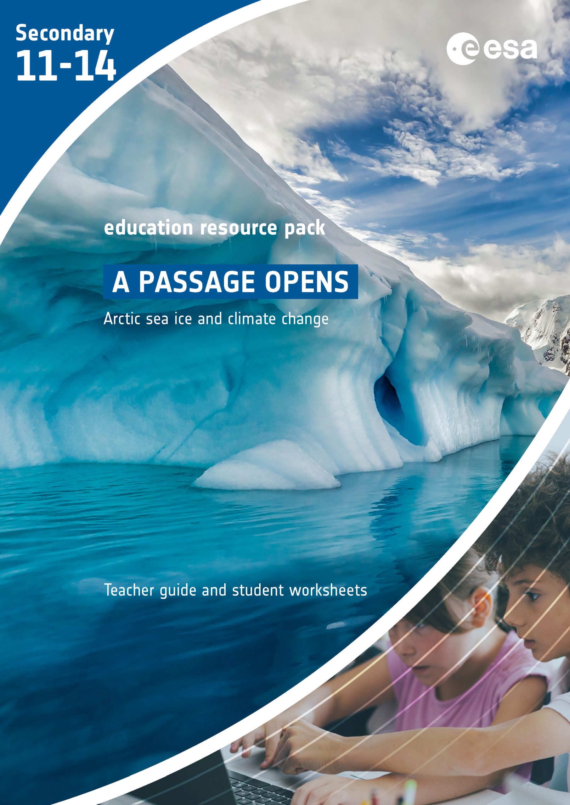
Country under threat
In this set of activities from the ESA Climate office, children learn about the causes and potential impacts of sea-level rise while developing working scientifically. They use data from satellites which observe the Earth and collect information as the basis of evidence for this. Activities are:
- reading a story about how rising sea levels affect children living on a small island, then changing the descriptions of the experiments in the story to instructions
- modelling EO satellites by observing ice melting over time and mapping what they see from above
- exploring sea surface temperatures and sea level changes across the globe using a satellite data app.
These activities could be used in conjunction with those described in the ESA resource The ice is melting. Pack includes: 4 worksheets, information sheet, teacher guide
Download from: STEM Learning | The prospects for life on small islands
Climate Detectives Kids
The ESA Climate Detectives Kids programme challenges teams of any number of children aged up to 12 years old to complete a series of activities linked to climate. In doing so they learn more about Earth’s environment and how to monitor our planet from space. Registration opens in September each year and activities can be submitted at any time through to the following April.
This programme is linked to the Climate Detectives challenge which is described in more detail here
ESA Education resources
Many European Space Agency Education Office resources are related to Earth observation and climate science. The following are particularly relevant:
- Earth under the lid (the greenhouse effect)
- One year on Earth (seasons)
- Nose high up in the sky (observing and measuring weather)
- The ice is melting (could be used alongside Country under threat – see above)
Pack includes: varies
Download from: ESA | Teach with space – primary classroom resources <
EO in the classroom
It is easy to see how EO data and images can directly support teaching about landscapes, the environment and climate, illustrating how they change over time. However, they can also support the teaching of other aspects of the core curriculum, particularly in STEM subjects (including computer science) and geography.
Find out more about the tools that you can use to explore the wealth of images and data with your students.
