
News and Media
Land Surface: 4DEnVar Data Assimilation
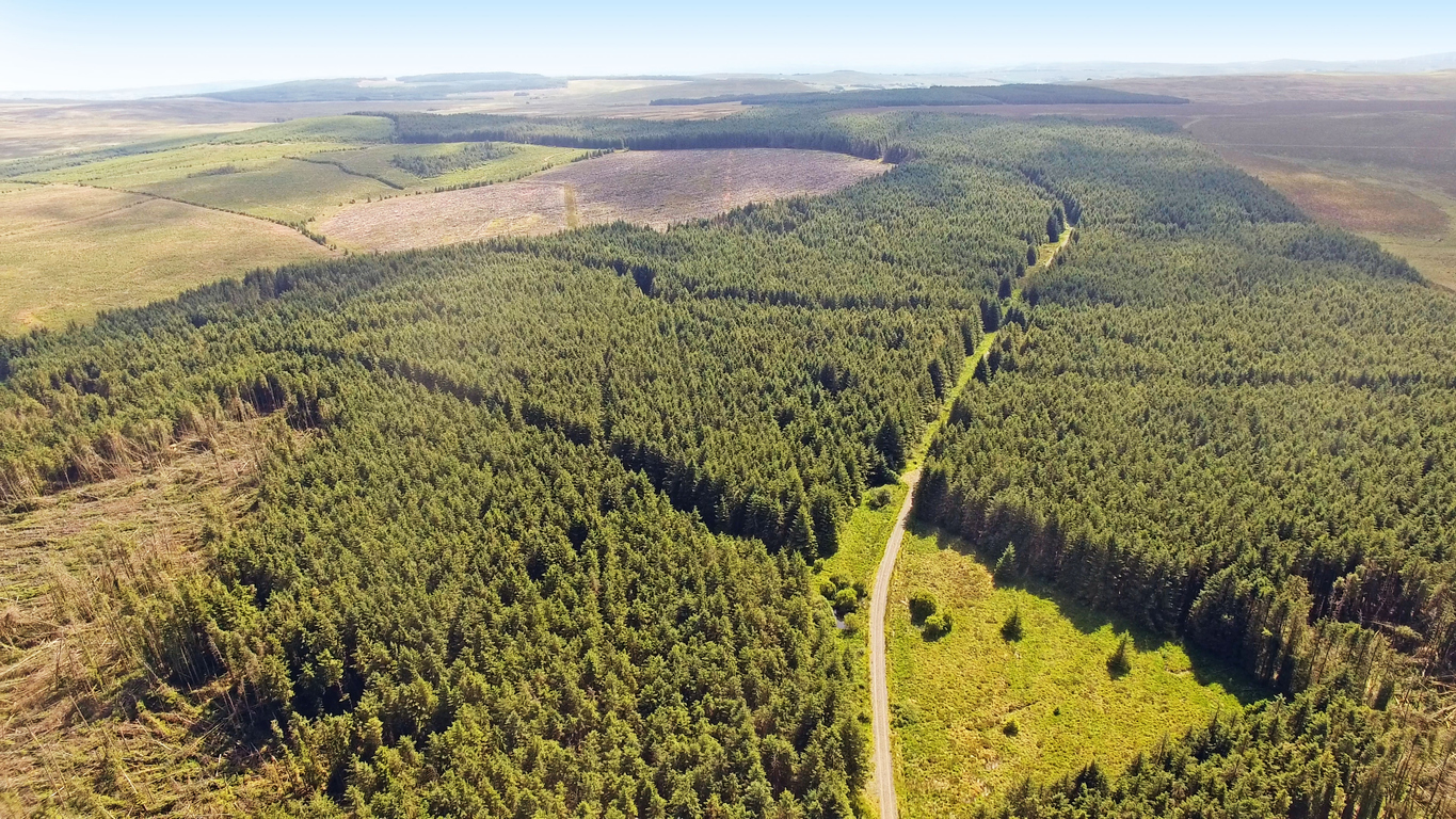
Land surface models are paramount to the climate modelling community in that they provide ‘boundary conditions’ — a quantification of the water, carbon and energy fluxes between the land and atmosphere at the Earth’s surface.
Arguably the biggest problem for land surface modellers is the selection of parameter values for use in their land surface model.

Scientists at NCEO are currently developing the 4DEnVar data assimilation technique — a fast and computationally inexpensive technique ideal for use in parameter estimation. 4DEnVar is capable of assimilating multiple observations at different times and uses an ensemble of model runs to approximate certain features of other more complicated and computationally expensive data assimilation techniques. Extensive testing with toy carbon models and synthetic observations are required prior to its implementation with land surface models and global datasets. This work at NCEO is attracting interest and promoting collaboration within the wider land surface modelling community.
Ongoing projects include, but are not limited to:
- STICS crop model parameter estimation against various TWINWIN site measurements with the Finnish Meteorological Institute
- JULES model calibration against photosynthesis and latent heat observations at the African FLUXNET sites with the University of Exeter

JULES model simulations
NCEO also has expertise in running land surface model simulations, primarily using the Joint UK Land Environment Simulator (JULES). JULES can be used to study land surface processes and impacts. It includes modules to account for the effects of hydrology, vegetation and soils on responses and feedbacks of the land surface with the atmosphere. It can simulate a wide range of spatial and temporal scales. It is a UK research community model that contributes to the Met Office’s Unified Model used for weather forecasting in the UK; and the UK Earth System Model (UKESM) used for IPCC climate projections.
NCEO land surface activities with JULES include developing code for new process representation in JULES, building observation operators to map between model outputs and earth observations datasets and assimilating these datasets for model calibration to improve estimates of water and carbon fluxes between the land surface and the atmosphere (Pinnington, 2020 and 2021). Datasets, from these activities, are supplied to the wider community.
References
- E. Pinnington, T. Quaife, A. Lawless, K. Williams, T. Arkebauer, and D. Scoby. The land variational ensemble data assimilation framework: Lavendar v1.0.0. Geoscientific Model Development, 9:55–69, 2020.
- E. Pinnington, J. Amezcua, E. Cooper, S. Dadson, R. Ellis, J. Peng, E. Robinson, R. Morrison, S. Osborne, and T. Quaife. Improving soil moisture prediction of a high-resolution land surface model by parameterising pedotransfer functions through assimilation of SMAP satellite data. Hydrology and Earth System Sciences, 25:1617–1641, 2021
Share this article


Published by Fazila Patel
Digital Communications Officer
University of Leicester


Latest News and Events
