BIOMASS
BIOMASS
Mission Summary
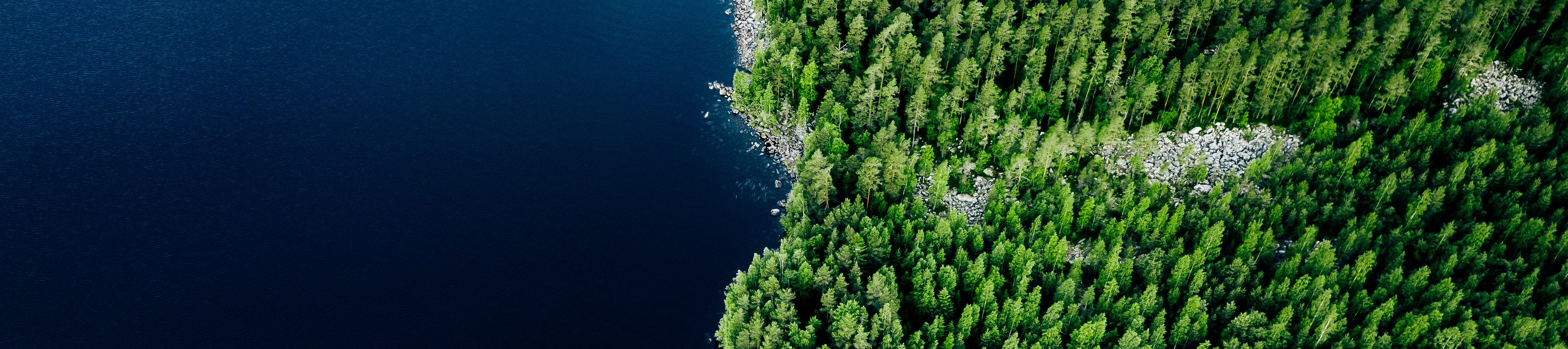
The ESA BIOMASS mission will measure the height and biomass of forests and will also generate 3D maps of forests using radar. Data from the BIOMASS mission, will give us an accurate assessment of how much wood is in these forests and hence how their changes affect the climate.
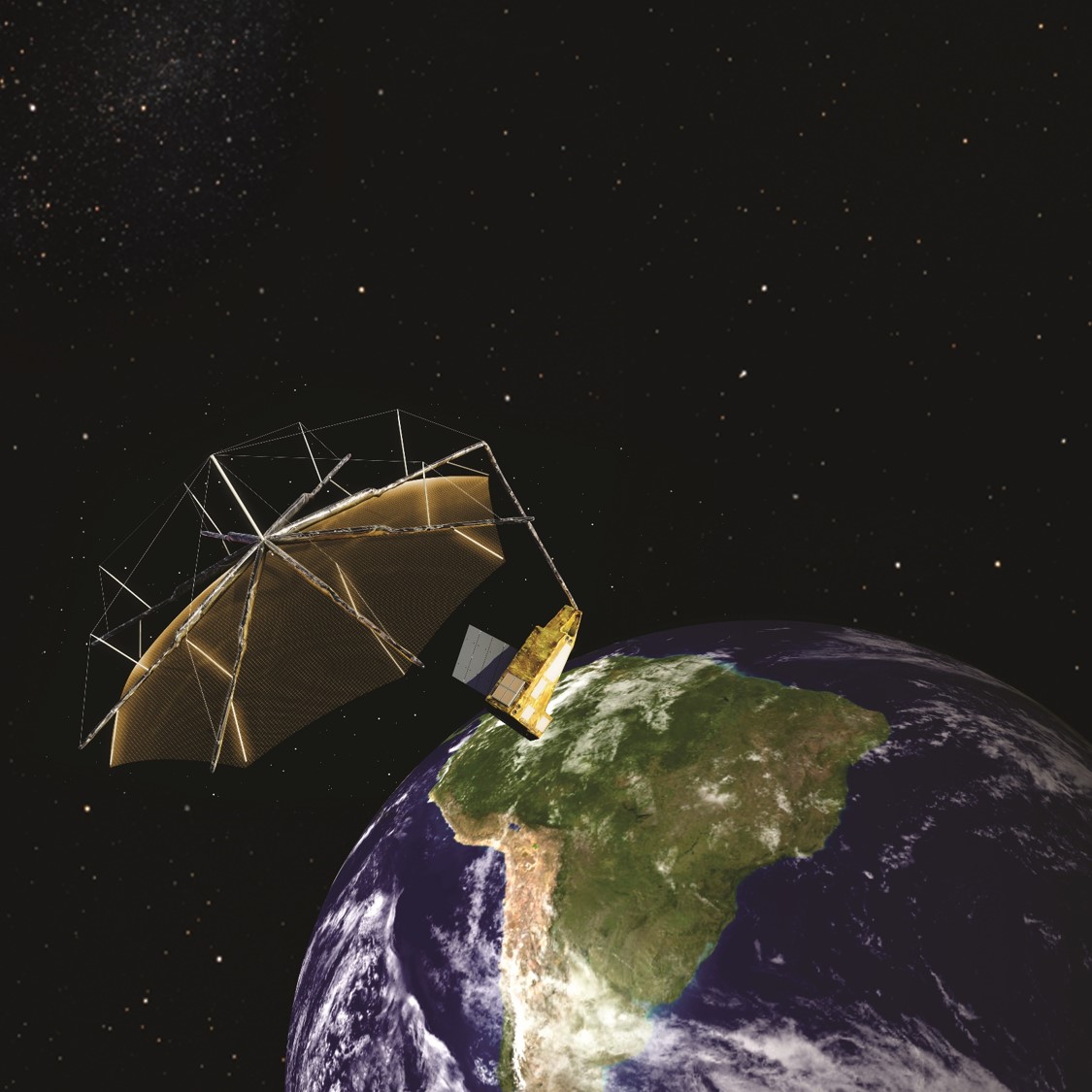
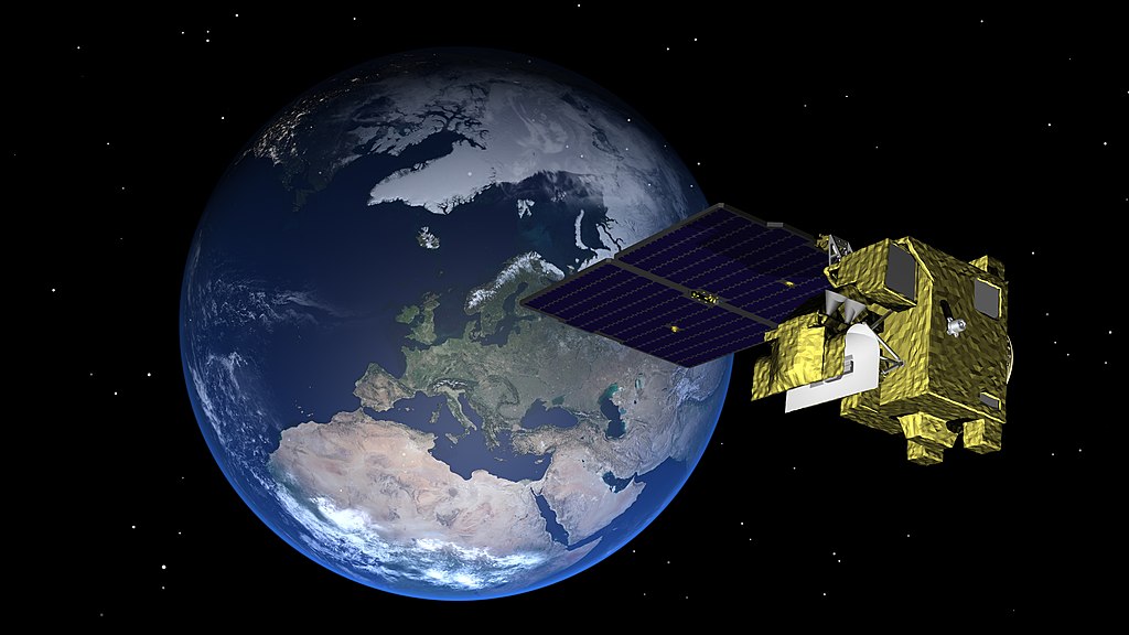
Biomass will be the first satellite to carry a P-band Synthetic Aperture Radar (SAR), providing improved measurements of forest height and biomass. This includes boreal, tropical, temperate and mangrove forests, as well as plantations. These data will also allow:
- Mapping of sub-surface geology
- Measuring topography under dense vegetation
- Estimating glacier and icesheet velocities
The BIOMASS mission is set to fundamentally change our understanding of the Earth’s carbon balance and, as a result, climate change
Professor Shaun Quegan
BIOMASS Mission Lead Scientist, University of Sheffield and NCEO.
BIOMASS will provide measurements of above ground biomass and canopy height at 200m resolution, and areas of forest clearing at 50m resolution. The mission will increase the accuracy of estimates of carbon stored in forests, information essential for the global stocktake, which allows countries to observe their progress towards the Paris Agreement.
At COP26 in 2021, more than 100 leaders committed to halt and reverse forest loss and land degradation by 2030. Scheduled for launch in 2024, the BIOMASS mission will demonstrate how we can measure these changes in stored carbon in the lead-up to 2030.
NCEO’s role in the mission
Professor Shaun Quegan, University of Sheffield and NCEO, conceived the concept for the BIOMASS Mission (proposed in 2005) and leads the scientific team. NCEO research in this area includes measurement, modelling, system analysis and developing sensor properties to improve carbon cycle models.
Professor Mat Williams, University of Edinburgh and NCEO, is also a key member of the BIOMASS Mission Advisory Group bringing ecological, modelling and data assimilation expertise to the application of biomass data. NCEO Scientists across the different centres will be using and validating the data captured from the BIOMASS mission, you can find more below:
NCEO Leicester
Professor Heiko Baltzer and Nezha Acil will be working on developing approaches to estimate aboveground biomass from the BIOMASS instrument as part of NCEO’s LTSS-2 project and in partnership with ESA. They hope to reach a better representation of biomass across different regions, notably in the densely forested tropics, as the radar frequency that the BIOMASS sensor will use is more suitable for measuring the deeper structures of forests. They will be working closely with the Kenyan Forestry service who are excited about the launch.
Forest biomass maps derived from satellite imagery are indeed valuable for the Kenya Forest Service, particularly in monitoring forest health, estimating carbon stocks, and informing sustainable forest management decisions.”
Kenyan Forest Service
NCEO UCL
NCEO and UCL Scientist Professor Mat Disney will be using Terrestrial Laser Scanning of forests for biomass and structure measurements to explore the relationship between tree structure and function. They will be using these new 3D measurements to help validate the data from Biomass.
BIOMASS is going to give us a view of tropical forests we’ve never seen before – through clouds, day and night and with amazing detail. I’m incredibly excited to see how these data will help us improve our understanding of the changing carbon balance of these crucial regions, as well as potentially showing us new insights. I can’t wait to see these data for the first time!”
Professor Mat Disney
NCEO Edinburgh
Our group of scientists at the University of Edinburgh are looking to map and understand the dynamics of the terrestrial carbon cycle – which plays a critical role in climate and climate change. A key focus for them is understanding the role of global forest biomass, particularly within the tropics, which is the target of the Biomass mission.
We use global maps of BIOMASS to support our analyses, but until now these maps have been patchy and with poor accuracy. The Biomass mission will allow us to make a step change improvement to our understanding of the global carbon cycle, and even more to national and regional carbon cycles due to the high resolution of the data it generates. Our analyses can support countries to understand how their forests connect to their international climate commitments (Paris Agreement) and how to manage forests sustainably.”
NCEO Scientists at Univesity of Edinburgh